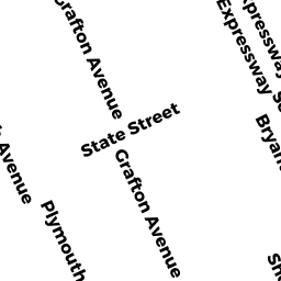
18 WEBSTER RD
Owner Information
HEELEN BRIAN P & DENISE M
18 WEBSTER RD
MILTON, MA 02186


Property Details
18 WEBSTER RD is classified as a Single Family Residential (Old style).
The primary structure on this property was built in 1899. There are 2738ft2 of built area within this property. There is 2738ft2 of residential/living space within this property. This property is listed as having 7 rooms.
18 WEBSTER RD is valued at 848700. The land is valued at 428100 and the structures are valued at 410700. There is an additional valuation of 9900 on this property.
This property is in Zone RC. Confirm with local Zoning Board authorities to ensure there are no overlays or other easements on this property.
The most recent deed for 18 WEBSTER RD is recorded at the local registrar in Book 14274, Page 14. 18 WEBSTER RD was last sold on 2000-07-31 for 584000.
Assessment data from fiscal year 2021.
Flood Data
According to the FEMA National Flood Hazard Layer, this property does not appear to be in a flood zone. It may also be in an area not yet reviewed. Nonetheless, confirm this information prior to taking any action.
To view the flood hazards around this property, create a FEMA "Firmette" Map of the area around 18 WEBSTER RD.
Broadband Internet Providers
| Provider | Type | Bandwidth (mbps) | |
|---|---|---|---|
| RCN | Cable | 500 | 20 |
| Viasat Inc | Satellite | 100 | 3 |
| Verizon New England Inc. | DSL | 10 | 1 |
| Comcast | Cable | 1000 | 35 |
| RCN | Cable | 1000 | 20 |
| T-Mobile | Fixed Wireless | 25 | 3 |
| GCI Communication Corp. | Satellite | 0 | 0 |
| HughesNet | Satellite | 25 | 3 |
| VSAT Systems, LLC. | Satellite | 2 | 1 |
Broadband service provider data from December 2020.
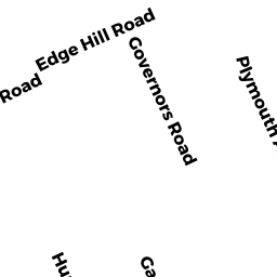
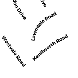
Adjacent Properties
- 9 HUNTINGTON RD
Housing, Other (Charitable Org.) owned by SOUTH SHORE ASSOCIATION FOR RETARDED CITIZENS INC - 22 WEBSTER RD
Single Family Residential owned by URMSTON CHARLES - 0 WEBSTER RD
Accessory Land with Improvement owned by HEELEN BRIAN P & DENISE M - 15 HUNTINGTON RD
Single Family Residential owned by MCMENAMY MATTHEW L & KATHRYN A - 19 HUNTINGTON RD
Single Family Residential owned by ONEILL KENNETH R